Weather now
Leeuwarden
15.2°C
Overcast
Live data, smart tools and an active community. Everything you need for a perfect trip.
Leeuwarden
15.2°C
Overcast
Leeuwarden
Harlingen
1.23m
↑ +0.15 mPriorities shift with your context, the chosen mode and the quality of the data.
No current alerts from an activated source.
See all alertsLoading…
Leeuwarden Terschelling
Network available soon
Your context
Pick a boat type, without obligation. WaterPilot adjusts its examples and priorities; you can change this at any time.
Why WaterPilot?
Not just another navigation app. WaterPilot brings navigation, safety, community and current waterway information together — so that boating becomes simpler, more social and more enjoyable.
Startup phase
No inflated user numbers. Just a clear goal: to make navigation, safety and community available to every boater.
The more boaters take part, the stronger the network becomes — with better routes, fresher information and more help on the water.
Up-to-date layers for routes, bridges, locks and AIS.
Tender, SUP, GPS and crew in a single safety network.
Assistance that thinks along about weather, route and safety.
Boaters who recognise and help each other on the water.
Connected voyage
WaterPilot does not just look at your boat, but at everything that is part of your trip.
Start trip
Tender not linked yet.
Subject to privacy settings and future official integrations.
The tender stays visible to the main boat.
Beyond the railing, everyone stays connected too.
Safety taken along — digitally and on board.
Not just navigation. A digital safety network.
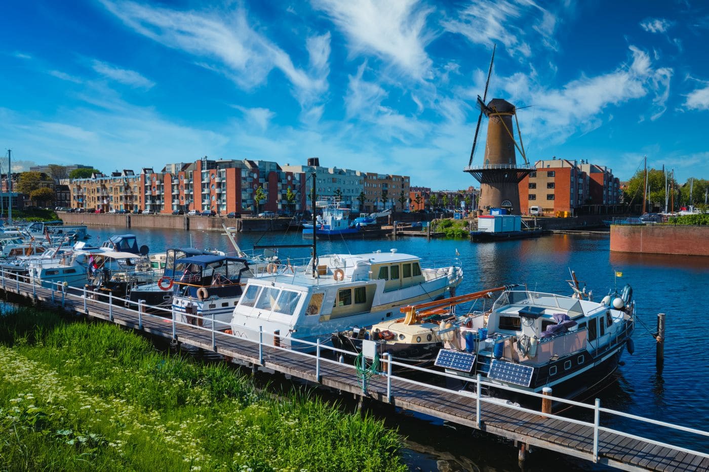
For the whole family
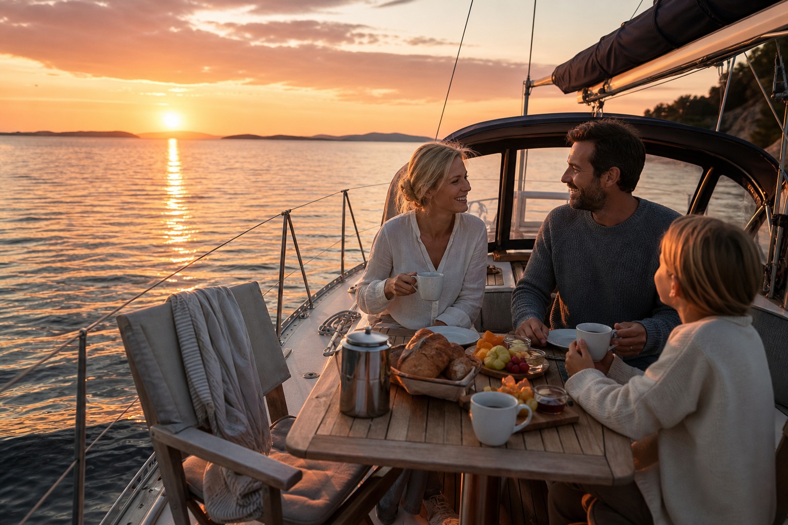
Many boaters use a tender. The children go for a spin. Someone heads ashore. A SUP goes out. A kayak paddles ahead. That is exactly when you want to know where everyone is.
That is why WaterPilot supports Connected Assets.
When someone leaves in a linked tender, WaterPilot can keep showing its position to the main boat — depending on the privacy settings.
Subject to privacy settings and future official integrations.
When a linked device triggers an SOS:
Subject to privacy settings and future official integrations.
Not every rental boat has AIS. Yet almost every renter has a phone.
So WaterPilot can also work with:
This creates an affordable alternative for simple fleet monitoring, finding boats again and extra safety.
Subject to privacy settings and future official integrations.
Our vision
We believe safety, navigation and a strong boating community should be within everyone's reach.
Most apps make their money from high subscription fees.
WaterPilot deliberately takes a different approach.
The more boaters use WaterPilot, the more valuable the platform becomes.
More users means:
That is why we want to keep the threshold as low as possible.
Free tier
Start with what you already own. No subscription needed for the core.
Usable straight away by virtually everyone.
Community Support
Anyone who wants to contribute chooses about €20 per season for the Community package.
Recognisable on the water — and that is what keeps WaterPilot free for others.
No obligation. But a strong network.
Partners & sponsors
We only work with parties that genuinely add something to being on the water.
Local value — not intrusive banners.
Not every boater has suitable equipment.
That is why we are exploring affordable accessories such as:
These products are not developed to maximise profit.
Our principle is simple: good equipment at a fair price.
“Our goal is not to sell as many subscriptions as possible. Our goal is to connect as many boaters as possible.”
The bigger the community, the more valuable the platform — and the easier it is to keep WaterPilot free for virtually everyone.
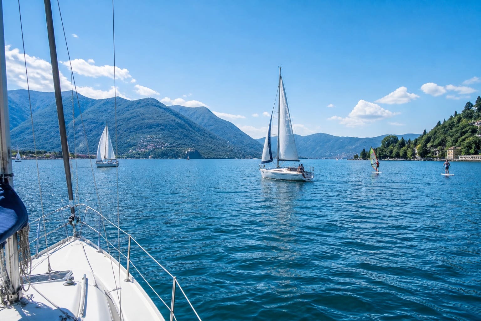
MiddagOur dream
Not because anyone has to. But because every boater feels that it makes being on the water simpler, safer, more social and more enjoyable.
When hundreds of thousands of boaters use the same app, something bigger than software emerges: a digital safety network, an active community, and more good days together on the water.
Help build the largest boating community in Europe.